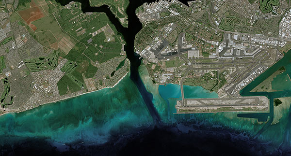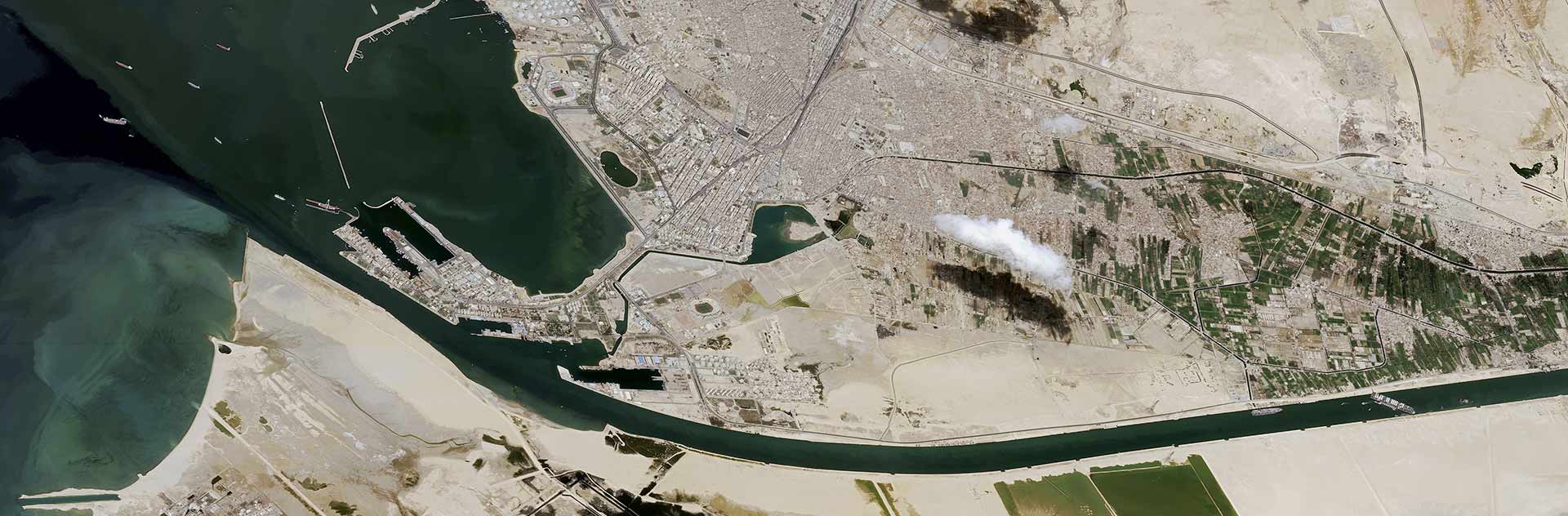
The European Maritime Safety Agency (EMSA) has awarded Airbus and European Space Imaging (EUSI) a 24 month contract for the delivery of the highest optical satellite imagery resolution currently commercially available. The integrated service ranked number one among a strong field of competitors to provide all data sets, further evidencing both companies position as European industry leaders of 30 cm resolution imagery.
EMSA relies on optical satellite images as part of its maritime surveillance services to the European Commission and Member States to support a number of functions in the maritime domain such as safety, security, environmental monitoring, and law enforcement. The current framework awarded to Airbus and EUSI will have the possibility to be renewed for two additional periods of 12 months each.
To fulfil EMSA’s imaging requirements, Airbus will be supplying imagery collected by SPOT, Pléiades and Pléiades Neo satellites, whilst EUSI will be supplying imagery from the current WorldView satellites, the Legion constellation once in orbit, as well as other value added services. Leveraging satellites’ respective ground stations, the data will be delivered in near real-time to EMSA, enabling fast response times and critical insights to decision makers.
Airbus and EUSI are European satellite imagery providers offering true 30cm satellite data downlinked in Europe. The resolutions and rapid revisit rates from the integrated service operated by Airbus and EUSI are a game changer to the maritime sector and will ensure a high level of maritime domain awareness is maintained, thus keeping our seas safer.