Dive into the transformative realm of satellite-based mapping in our upcoming geospatial community meetup organized in collaboration with our partner Geoawesomeness.

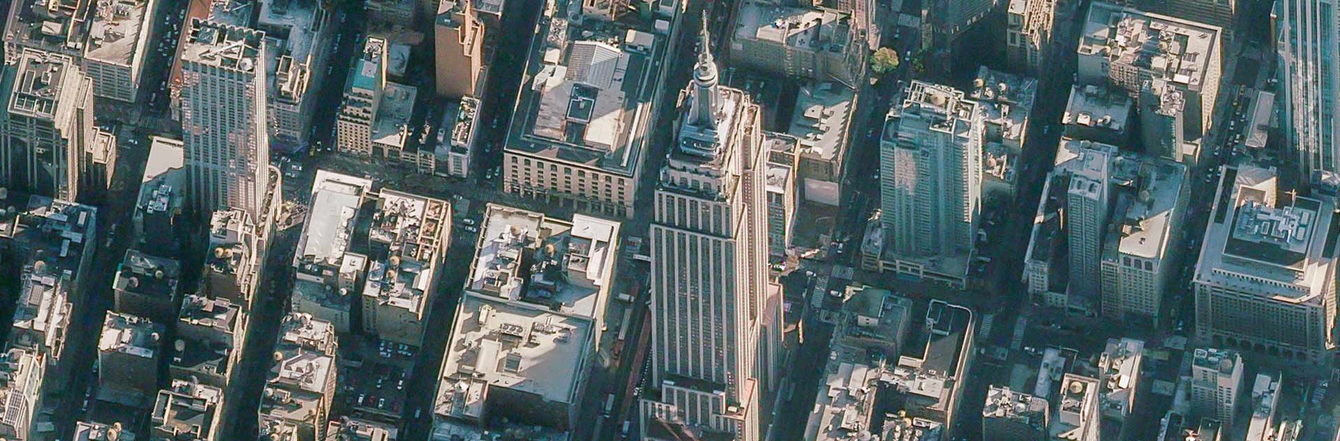
As very high-resolution satellite data becomes increasingly accessible, it's reshaping traditional mapping methodologies and practices. Our esteemed lineup of guests will share some of the most exciting use cases, highlighting how satellite data has revolutionized their work.
Whether you're an experienced geospatial professional or just a mapping enthusiast, this session offers a fresh look into the evolving landscape of geospatial analysis and remote sensing.
Discover how experts leverage the unparalleled clarity from above to craft detailed and accurate maps that redefine our understanding of the world.


