-
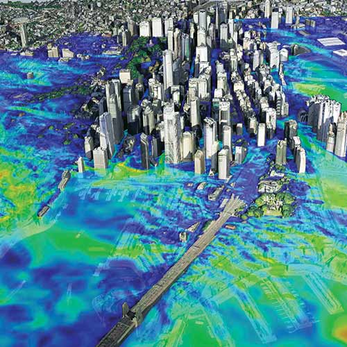
The Metaverse Requires Very High Resolution, Spatially Accurate, Timely Geospatial Data
-
FAO Uses Airbus Imagery to Estimate Rice
-
Establishing One of the World’s Most Advanced Agricultural Information Systems
-
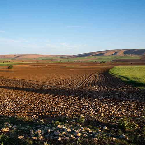
The Ministry of Agriculture in Pakistan Uses Satellite Imagery from Suparco DRS
-
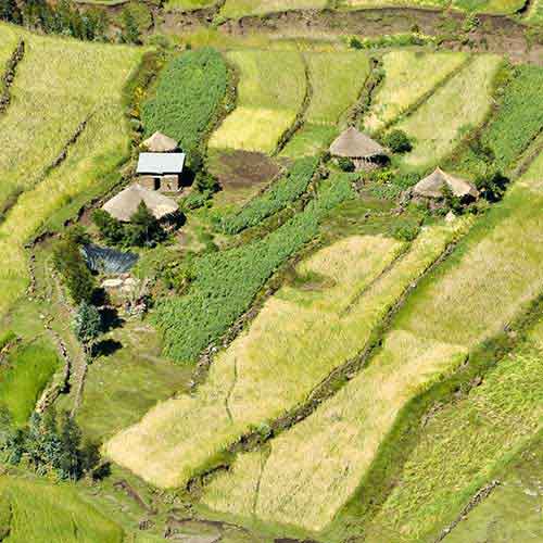
Ag Analytics to Support Small-Holder Farmers and Digital Agriculture in Kenya
-
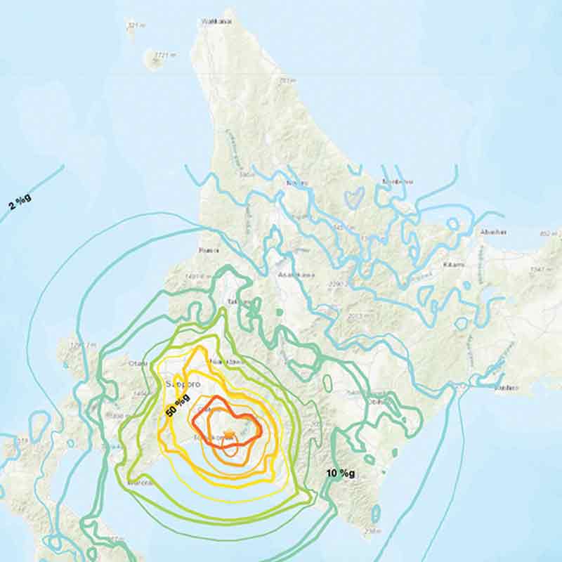
2018 Hokkaido Earthquake and Post-disaster Monitoring
-
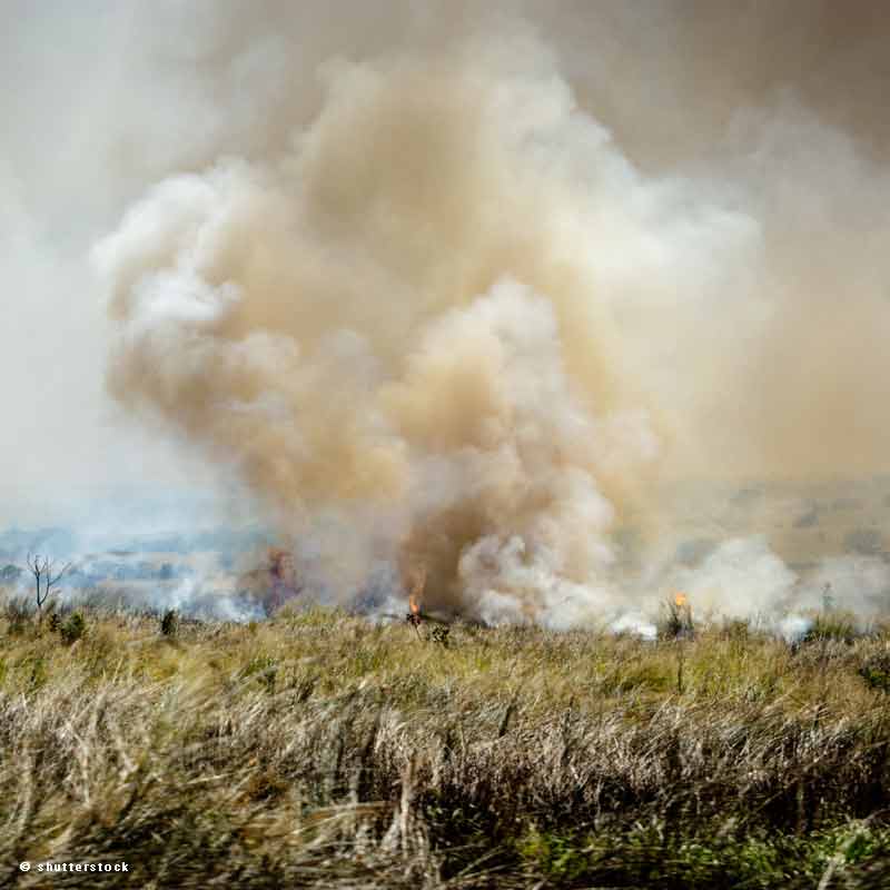
Estimating the Agricultural Waste Burning Area from the Sky
-
Simplot Relies on Airbus to Deliver Valuable Agronomy to Their Farmers
-
The Great Mosaic of Loire-Atlantique
-
Detection and Observation of Toxic Gulfweed using SPOT 6/7


