-
The Metaverse Requires Very High Resolution, Spatially Accurate, Timely Geospatial Data
-
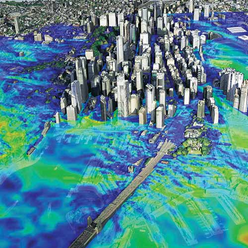
Timely Data Delivery is Key to AI Geospatial Analytics for Satelytics
-
Satellite Imagery for Sustainable Solutions
-
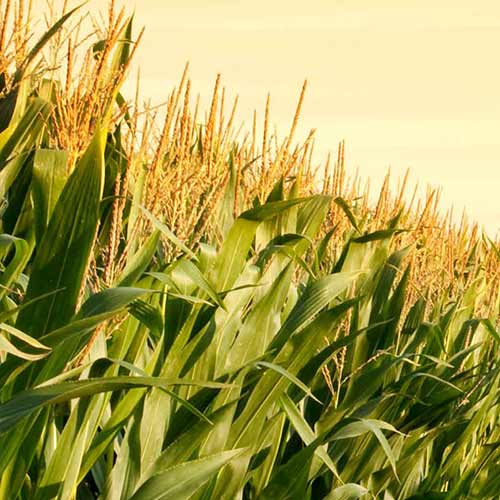
Intelinair Delivers Ag Intelligence to Farmers When and Where They Need It
-
G7 Summit 2021 Monitored Using Airbus Maritime Satellite Surveillance Capabilities
-
FAO Uses Airbus Imagery to Estimate Rice
-
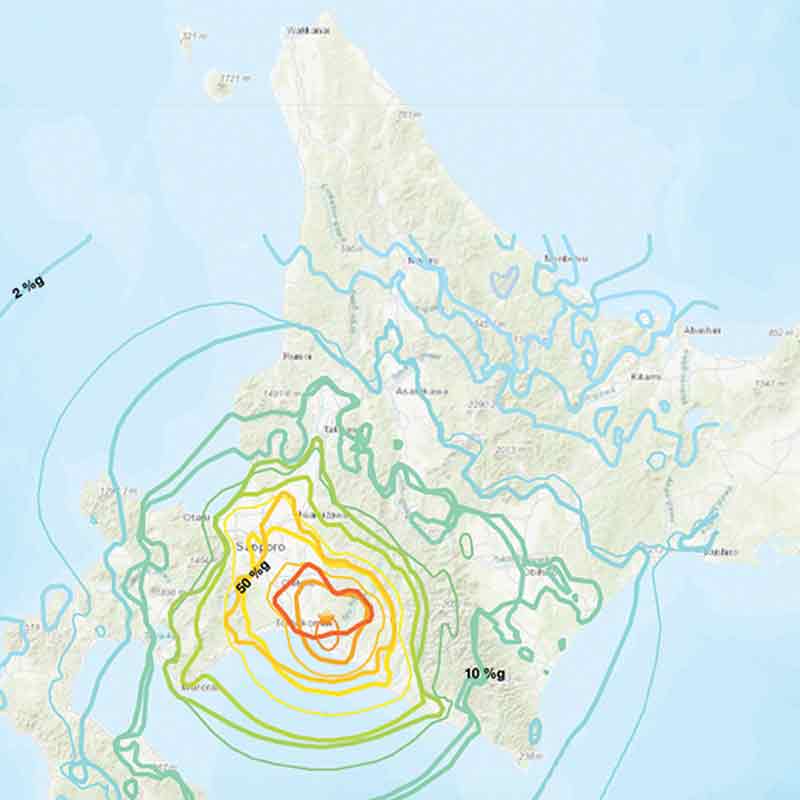
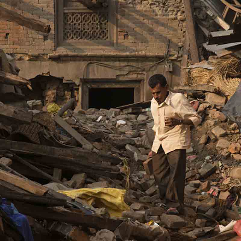
2018 Hokkaido Earthquake and Post-disaster Monitoring
-
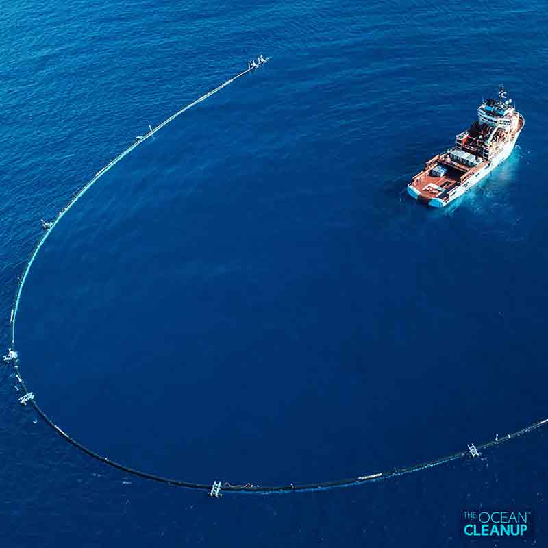
Pléiades Tasking Helping to Clean the World’s Ocean
-
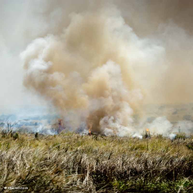
Estimating the Agricultural Waste Burning Area from the Sky
-
Simplot Relies on Airbus to Deliver Valuable Agronomy to Their Farmers
-
Crédit Agricole Bank Relies on Satellite Imagery to Insure Grasslands Against Climate Risks
-
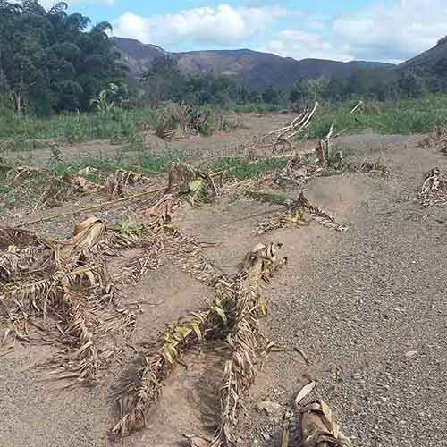
Damage Assessment in An Emergency Situation
-
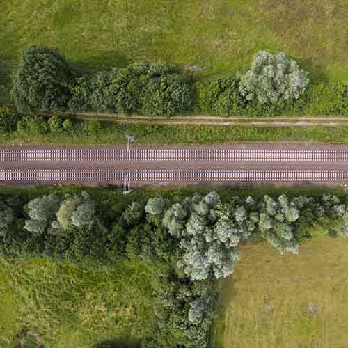
Vegetation Assessment Risk Modelling for Network Rail
-
Supporting Polio Eradication with Satellite Imagery
-
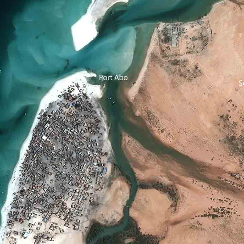
Hijacked Oil Tanker found with the Help of Pléiades
-
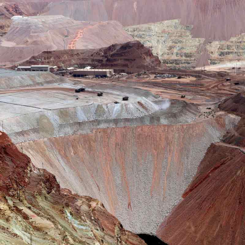
Remote Monitoring of Iron Ore Mining Pits with Stack Insight
-
American Football Stadiums Seen by the Pléiades Satellite
-
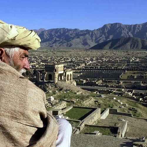
Earthquake Damage Assessment with Pakistan Space Agency