-
Satellite Imagery for Sustainable Solutions
-
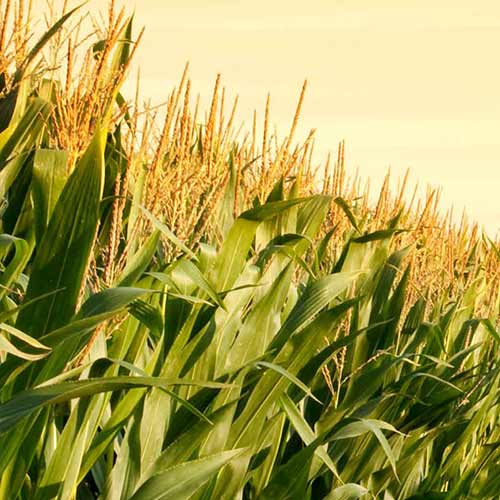
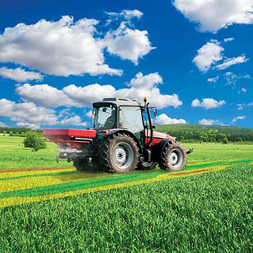
Intelinair Delivers Ag Intelligence to Farmers When and Where They Need It
-
FAO Uses Airbus Imagery to Estimate Rice
-
Establishing One of the World’s Most Advanced Agricultural Information Systems
-
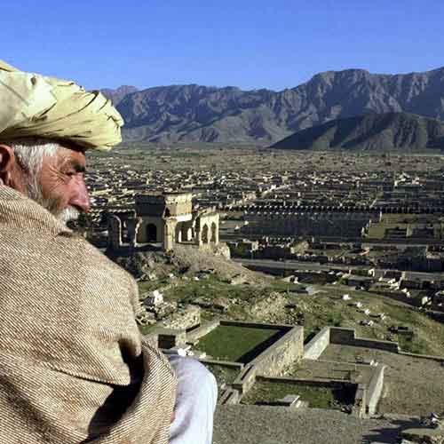
The Ministry of Agriculture in Pakistan Uses Satellite Imagery from Suparco DRS
-
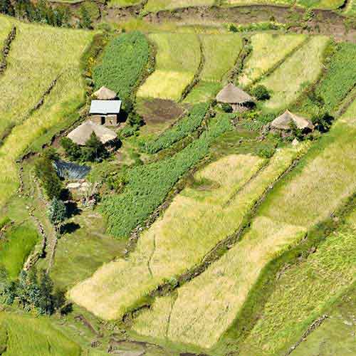
Ag Analytics to Support Small-Holder Farmers and Digital Agriculture in Kenya
-
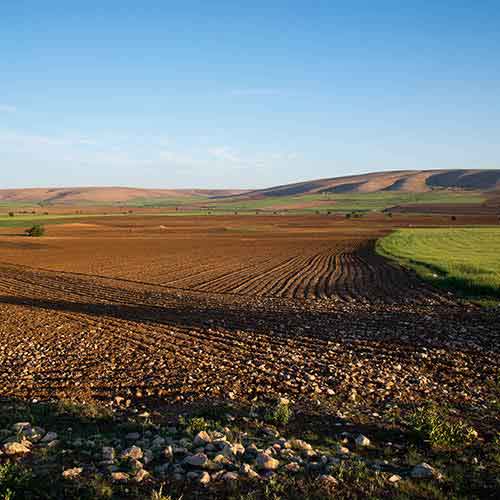
Euralis Adopts Farmstar to Optimise Crop Production
-
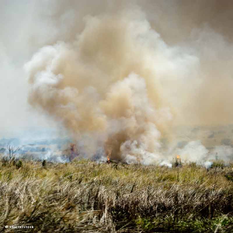
Estimating the Agricultural Waste Burning Area from the Sky
-
Avocados - From Farm to Table
-
Simplot Relies on Airbus to Deliver Valuable Agronomy to Their Farmers
-
Crédit Agricole Bank Relies on Satellite Imagery to Insure Grasslands Against Climate Risks