Land Administration and Mapping
11
-
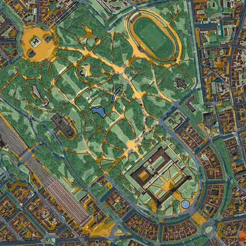
Mapping Precisely the Urban Vegetation with Pléiades Neo
-
Archaeology from Space with Pléiades Neo
-
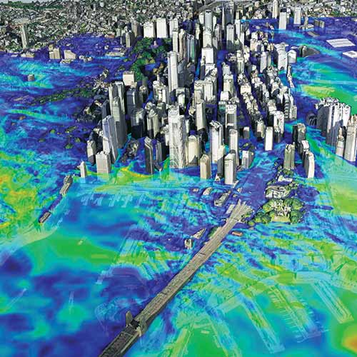
The Metaverse Requires Very High Resolution, Spatially Accurate, Timely Geospatial Data
-
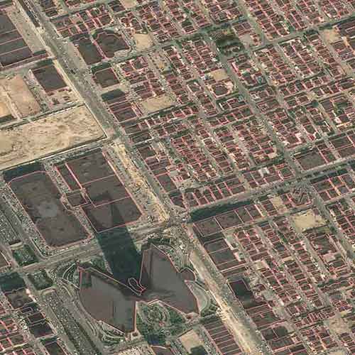
U.S. Census Bureau: Automated Detection and Classification of Nationwide Residential Construction
-
Supporting Land Administration using OneAtlas Imagery and Ecopia Vector Maps
-
Supporting Humanitarian Relief using OneAtlas Imagery and Ecopia Vector Maps
-
Cadastral Surveying with Airbus Ground Control Points
-
Location Based Services: Ensuring Digital Map Quality
-
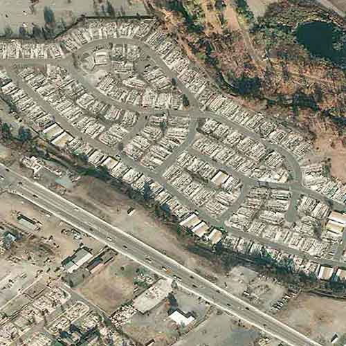
Detecting Illegal Construction in Hazard-Prone Areas
-
The Great Mosaic of Loire-Atlantique
-
Supporting Polio Eradication with Satellite Imagery