-
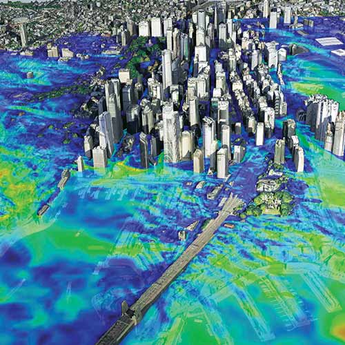
The Metaverse Requires Very High Resolution, Spatially Accurate, Timely Geospatial Data
-
Timely Data Delivery is Key to AI Geospatial Analytics for Satelytics
-
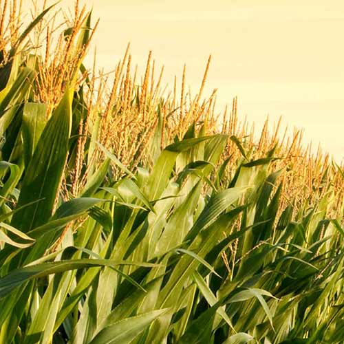
Intelinair Delivers Ag Intelligence to Farmers When and Where They Need It
-
Water Management and Protection from Space with Pléiades Neo
-
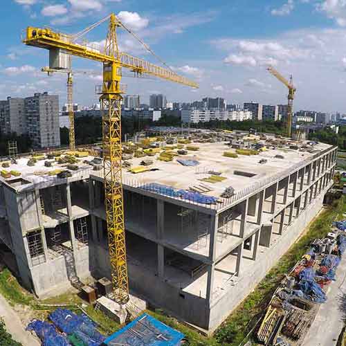
U.S. Census Bureau: Automated Detection and Classification of Nationwide Residential Construction
-
Supporting Land Administration using OneAtlas Imagery and Ecopia Vector Maps
-
Supporting Humanitarian Relief using OneAtlas Imagery and Ecopia Vector Maps
-
Supporting Insurance Applications using OneAtlas Imagery and Ecopia Vector Maps
-
Location Based Services: Ensuring Digital Map Quality
-
Avocados - From Farm to Table
-
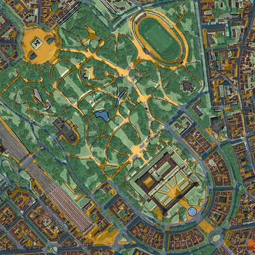
Monitoring Growth and Infrastructure Development
-
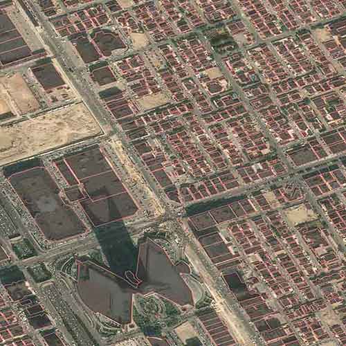
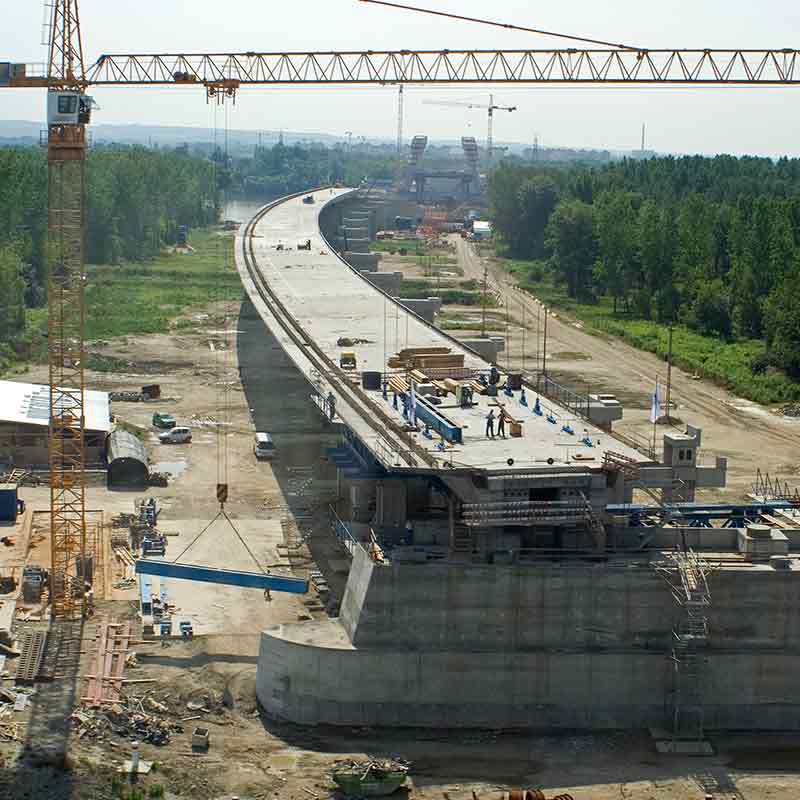
Urban Planning: Tracking Transportation Infrastructure Construction
-
Maritime Surveillance: Helping to Tackle Speeding Traffickers
-
Simplot Relies on Airbus to Deliver Valuable Agronomy to Their Farmers
-
PASSAGES - Or Planning of Radar Tower Locations in the Northwest Passage with WorldDEM
-
American Football Stadiums Seen by the Pléiades Satellite
-
Detection and Observation of Toxic Gulfweed using SPOT 6/7