We continuously develop our GeoStore in order to offer you the best possible online experience. Stay up to date on the latest improvements in GeoStore.

What's New in GeoStore?
July 2017
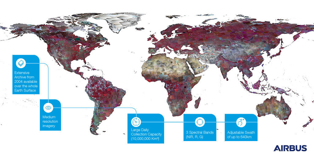
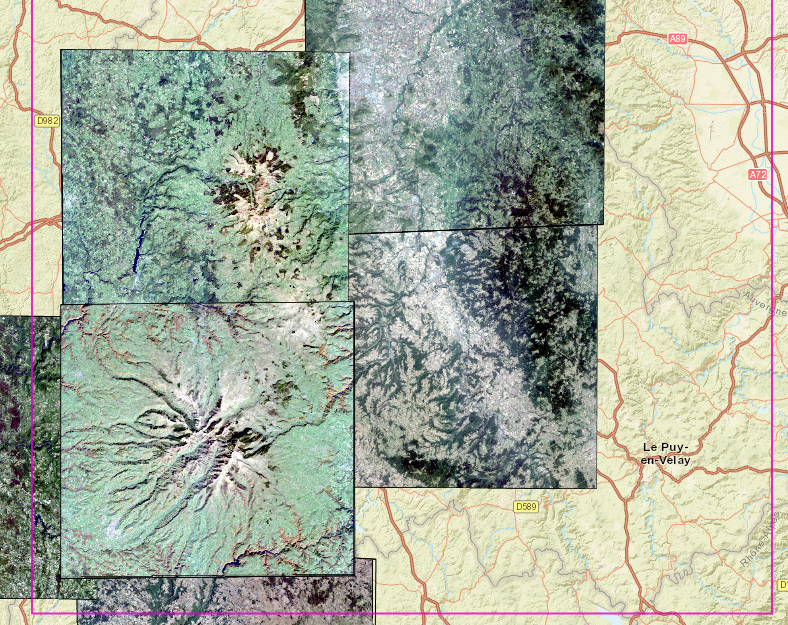
DMC Constellation Archive Now Available in GeoStore
You can now search and request a quotation for DMC Constellation archive products alongside the rest of the portfolio.
This extensive archive of medium resolution imagery going back to 2004 provides an ideal dataset for time-series analysis and change detection.
Read more
February 2017
As of 9 February 2017, the Pl├®iades and SPOT 6/7 commercial offers have been enriched with additional Radiometry and Geometry imagery processing options.
As of 9 February 2017, the Pl├®iades and SPOT 6/7 commercial offers have been enriched with additional Radiometry and Geometry imagery processing options.
New geometric processing: Projected
The image acquired in the plane of the sensor is projected onto a cartographic or geographic terrestrial plane. The plane is defined with a constant altitude, which is the mean height value over the area of interest.
Projected products include all the radiometric and geometric corrections of the Primary level (external orientation). An associated geometric model is described in an RPC file that can be directly integrated into image processing and analysis software.
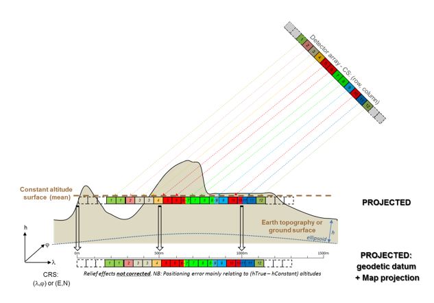
Main benefits for users:
- Directly compatible with GIS environments
- Easier orthorectification by users who use their own reference layers (Ortho, GCPs and DEMŌĆ”) thanks to the geometric model described in the embedded RPC file
New Radiometric processing: Reflectance
The image is radiometrically corrected from sensor calibration and systematic atmospheric effects (molecular or ŌĆśRayleighŌĆÖ diffusion). Cloud, cloud veil, haze, aerosol (pollution and sandstorm) remain.
Image values are provided in normalized reflectance values with a 1/10,000 ratio.
Main benefits for users:
- Correct the bluish effects from the atmosphere
- Obtain reliable true colors
- Ensure more stable luminosity/contrast on screen
- Prepare direct near seamless coverage (eg. MosaickingŌĆ”)
New Radiometric processing: Display
Display level products are generated from a new algorithm based on the Reflectance product. The Display level replaces the former OVR (Optimized Visual Rendering) option.
8-bit pixel coding should be requested since 16-bit pixel coding does not provide any additional information. Moreover, image files are lighter with 8-bit pixel coding.
Display processing should be selected when images need to be immediately displayed on screens with optimized visual rendering.
1-Radiometric Processing Basic:
2-Radiometric Processing Reflectance:
3-Radiometric Processing Display:
November 2016
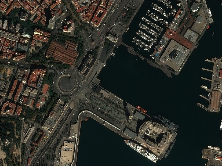
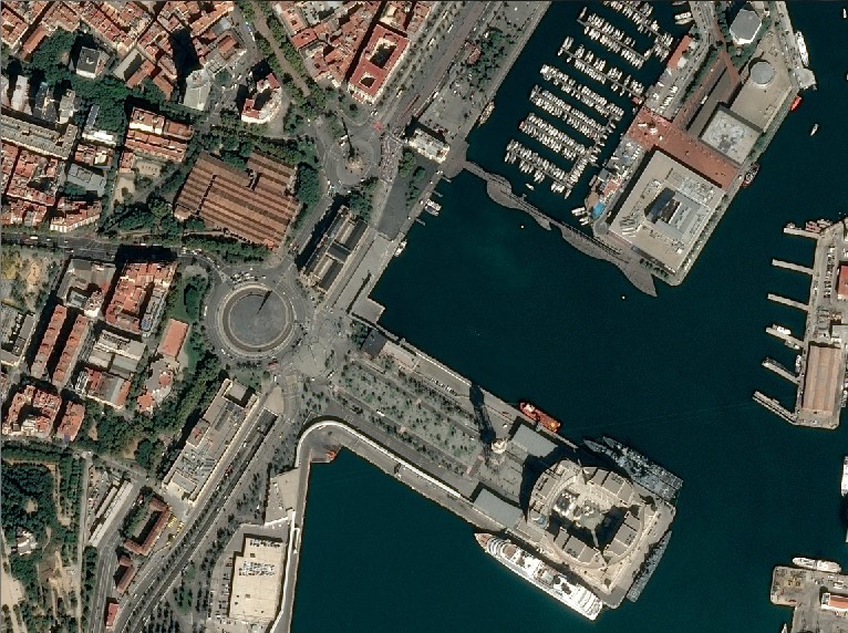
New product available in GeoStore: Best of SPOT 1.5m!
Select the
![]() product in the SPOT archive product collection and display directly in GeoStore the freshest and cloud-free images on your AOI in a few clicks. These images have been manually selected by Airbus Defence and Space imagery experts.
product in the SPOT archive product collection and display directly in GeoStore the freshest and cloud-free images on your AOI in a few clicks. These images have been manually selected by Airbus Defence and Space imagery experts.
October 2016
New: Upload your polygon names directly in GeoStore!
You can now import the native names of your AOIs directly from your Shapefile or KML/KMZ. This option is very useful if you have a lot of AOIs to cover, simply extract the site locations from your own GIS and batch upload them into GeoStore.
Click on
 and select
 to upload a KML/KMZ file or
 to upload a Shapefile.
If you are uploading a Shapefile, make sure to select all the related file types (.shp .dbf .shx .prj) by maintaining the SHIFT or CTRL key while clicking.
Then click on the switch button to select ŌĆ£YesŌĆØ, choose the field name to import and click on ŌĆ£OKŌĆØ to start the upload.
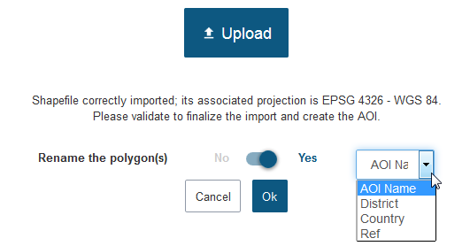
Note that if you are uploading a KML/KMZ file, only the ŌĆ£NameŌĆØ attribute will be selectable.
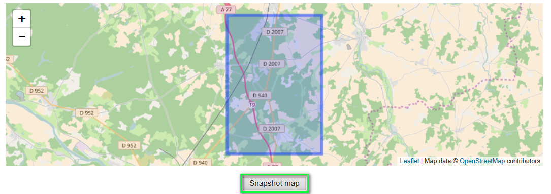
New: Feasibility study display improved for OneDay and OneNow options!
The automated feasibility study has been improved.
Discover the new snapshot functionality: capture the map and save it as an image.
The sensor and viewing angle are now displayed in the feasibility results.