SPOTMaps

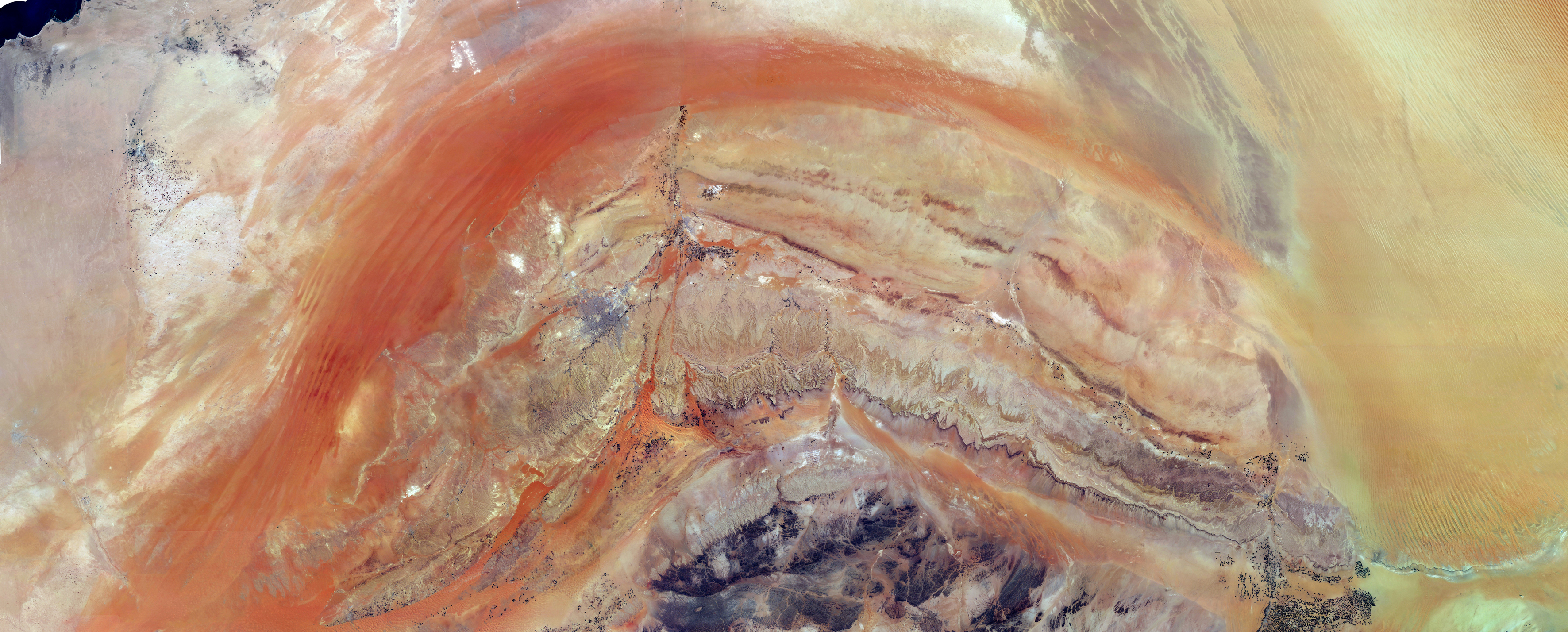
SPOTMaps mosaic products provide nationwide or regional seamless coverage, orthorectified, derived from colour imagery acquired by SPOT 5, 6 & 7. Framed according to your area, SPOTMaps are the ideal geographic reference for visualisation, mapping and planning needs.
SPOTMaps now comprise two products, at resolutions of 2.5 and 1.5 metres.

Product Description

SPOTMaps 2.5: produced from imagery acquired by SPOT 5
Immediately available
Suitable for working at scales up to 1:50,000

SPOTMaps 1.5: produced from imagery acquired by SPOT 6/7
Currently being acquired and produced off-the-shelf
Suitable for working at scales

KEY FEATURES

  • Seamless, uniform, orthorectified territorial coverages produced with colour imagery acquired by the SPOT satellites
  • Tailoring to customers’ needs (AoI, licensing model)
  • Basemap offering high geometric accuracy
  • Available in streaming format
  • Fully compatible with geo-referenced databases

KEY BENEFITS

SPOTMaps 2.5 and SPOTMaps 1.5 both allow the user to:

  • View an entire territory
  • Simulate siting of new infrastructures
  • Perform impact studies
  • Produce or update zoning plans and maps
  • Share information with partners

KEY ASSETS

  • SPOTMaps 2.5 is available over more than 110 countries, representing a total of more than 95 Million km²
  • SPOTMaps 1.5 is now taking over to provide users with higher resolution and its coverage is growing and updated every month

TARGETED MARKETS & APPLICATIONS

  • Engineering: Impact studies, simulate sitting of new infrastructures
  • Mining exploration: Analyses of ground structure, environment impact studies
  • Defence: Mission preparation, logistics planning, data for flight simulators
  • Mapping agencies
  • Agriculture: Parcel delineation, soils or vegetation mapping, estimation of land use, deforestation analysis