We continuously develop our GeoStore in order to offer you the best possible online experience. Stay up to date on the latest improvements in GeoStore.

What's New in GeoStore?
August 2016
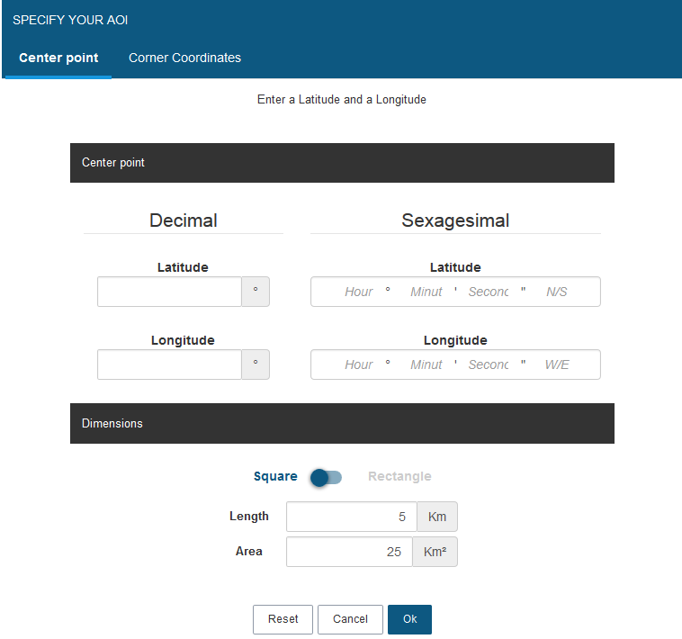
Did you know you could search by coordinates in GeoStore?
Use the advanced Drawing functionalities to enter the center point coordinates in decimal or sexagesimal units by clicking on
 . Choose to draw whether a square or a rectangle around this point and click on

You can as well enter the corner coordinates of your AOI using the upper left corner coordinates and lower right corner coordinates.
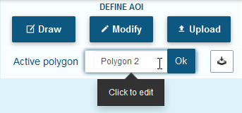
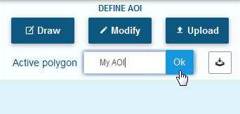
Did you know you could rename your polygons (AOI) in GeoStore?
Once you have drawn your AOI you can click on the default polygon name in the DEFINE AOI section and rename it, then click on OK to validate. You can rename a polygon as many times as you wish.
Did you know you could import files in TXT, WKT, KML, KMZ or SHP formats in GeoStore?
To upload such files into GeoStore click on the
 button and select the file format you wish to import.
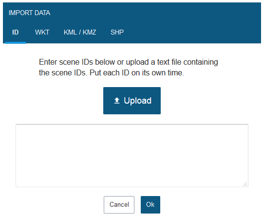
To import a list of several image IDs or WKT coordinates, make sure each line contain only one image ID or only one polygon coordinates.
Make sure your polygon has no gap and does not intersect itself as well. Furthermore, be aware that GeoStore does not support the import of (poly)line files or (multi)point files.
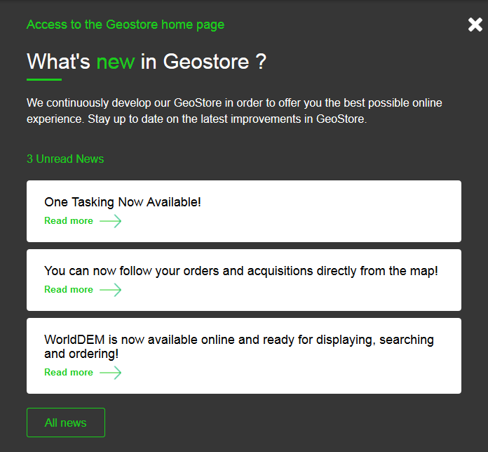
Did you know you could access the GeoStore News & Homepage from the GeoStore portal?
When you are in the portal, click on
 at the top of the map to display the latest news in the map.
To open the GeoStore homepage in a new tab click on
 at the top of the news panel.
July 2016
One Tasking Now Available!
Commissioning a satellite is now risk-free, fast, and incredibly easy.
Watch the webinar recording