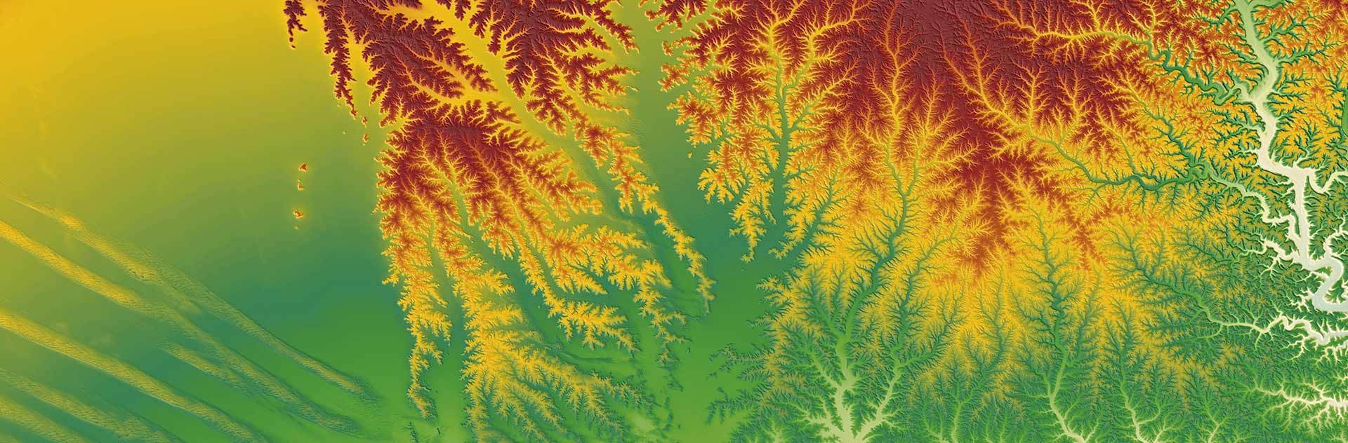
Elevation30
HRS instrument on SPOT 5
HRS instrument on SPOT 5 is dedicated to simultaneous stereopairs acquisition:
- 2 telescopes, one pointing forward and one aft of nadir, at a fixed angle of 20°
- acquisition interval: 90 seconds along the track
- an imaging swath of 600 km x 120 km (72,000 km2)
- base/height ratio (B/H) of 0.8
SPOT DEM
A digital elevation model (DEM) is a file containing elevation values distributed on a uniform grid of an area of interest.
SPOT DEMs are produced by automatic correlation of stereopairs acquired by HRS.
SPOT DEM Precision
SPOT DEM Precision is a DTED level 2 product .
It contains two layers of information:
- an HRS DEM
- quality and traceability metadata
Reference3D
Reference3D is a global, geocoded database developed jointly by Spot Image and the French mapping and survey agency, IGN.
It is the foundation for any application that relies on very-high-quality elevation databases. It contains three layers of information:
- HRS DEM
- HRS orthoimages
- quality and traceability data