OneTasking: Commissioning a Satellite Has Never Been Easier. Pléiades. SPOT
One Tasking

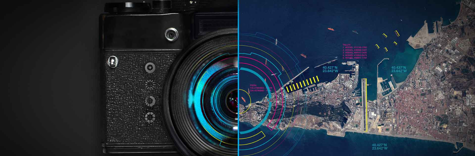
Thanks to an unprecedented commitment to deliver new imagery collections, One Tasking provides answers and support in any situation exactly when and where you need it: from the most basic map update up to emergency response, land use analysis, mission planning or frequent insights through reliable monitoring.
With One Tasking, commissioning a satellite and obtaining the imagery you requested, exactly when you need it, is now risk-free, fast, and incredibly easy

Product Description

ONE DAY: Choose your acquisition day
Imagery acquisition for a specific day is now risk-free.
24 hours before your acquisition date, you receive a weather forecast to let you confirm, postpone or cancel your request at no cost.

ONE NOW: Access useful information in an instant
When immediate imagery is required, our satellites can be tasked to deliver valuable insights in the shortest possible timeframe.
Don’t panic if it’s cloudy – we keep collecting images of your area until we are successful.

ONE PLAN: Obtain qualified coverage within an agreed timeframe
You select your timeframes, dates and preferred sensor – we ensure you receive the right qualified coverage, perfectly matching your project milestones.

ONE SERIES: Get coverage on a regular basis
Whether you are dealing with long-term changes or highly dynamic situations, OneSeries brings you the required intelligence at the frequency you choose.
For highest frequencies, our cloud cover commitment ensures you pay only for the most useful results.

KEY FEATURES

4 options especially designed around customers’ needs and available whatever the sensor (SPOT 6/7, Pléiades or TerraSAR-X being implemented) or
the access channel (GeoStore or Customer Care); One Tasking relies on:

  • A reactive and reliable satellite constellation readily available and very flexible
  • A true daily revisit capability that maximises coverage speed and monitorings
  • A team of dedicated in-house experts to ensure collection success on time and on specifications.
  • A ground segment optimized for worldwide Near Real Time deliveries.

All resulting in:

  • An unrivalled commitment to deliver new imagery when and where customers need it
  • And a Premium reactivity allowing / enabling rapid access to critical information anywhere, anytime

KEY BENEFITS

  • Best choice for maximising the success of your collection campaign.
  • Financial compensation, if we (ever) fail to deliver on time.
  • Flexible sensors, superior availability for ultra fast delivery.
  • Streamlined offer, to lighten the ordering process for all satellite imagery and sales channels.
  • Premium service for rapid access to critical information including 24/7 Emergency Service, tracked acquisition and order progress, last minute modifications

TARGETED MARKETS & APPLICATIONS

  • Defence
  • Security
  • Civil Engineering
  • OGME
  • Agriculture
  • Forest and Environment