DMC Constellation

The DMC Constellation provides rapid repeat coverage of the largest countries, regions and even continents. The DMC Constellation is capable of acquiring multispectral imagery at 22-24m resolution and panchromatic imagery at 12m.
Image size is adjustable up to very large images (i.e. 640 x 1,300km). Access to the DMC Constellation data supports our users in the development of applications and services across various markets such as wide-area change detection, forestry, agriculture, disaster management, land cover mapping and environmental monitoring.
The DMC Constellation offers multiple options for new imagery tasking through the "OneTasking" offer, as well as an extensive imagery archive going back to 2004.
ALSAT-1B joined the DMC Constellation offer in 2018 as a key continuity mission, and brings additional spectral bands and enhanced coverage frequency to the constellation.
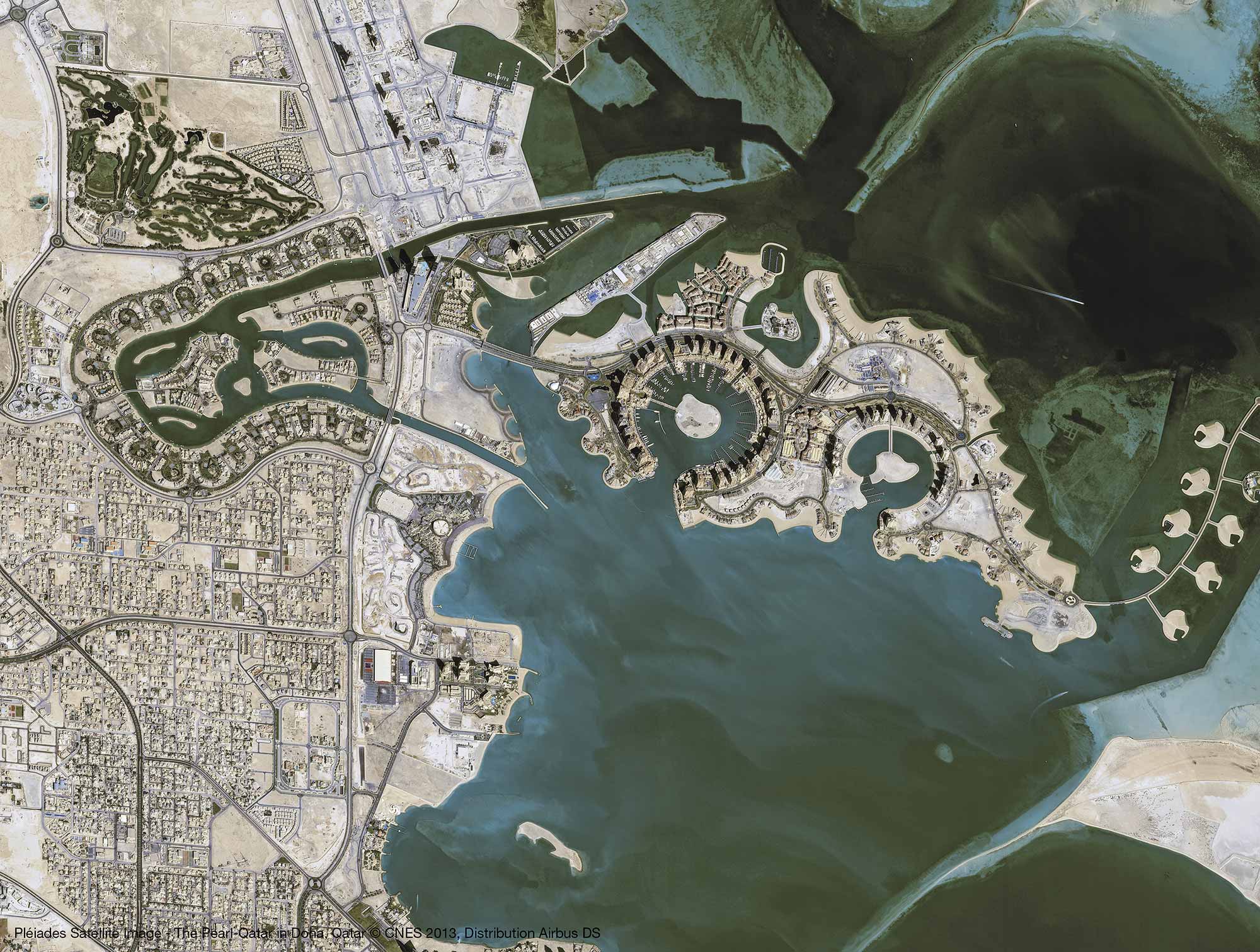
Product Description

UK-DMC2 and Deimos-1
22m resolution
From 80 up to 640km swath
3 spectral bands (Near Infra-Red, Red, Green)
Orthorectified imagery as standard

ALSAT-1B
24m MUL and 12m PAN resolution
Up to 147km swath
5 spectral bands (Near Infra-Red, Red, Green, Blue, Panchromatic)
Orthorectified imagery as standard

KEY FEATURES

  • Rapid coverage of large areas
  • Very frequent revisit worldwide (1-2 days)
  • Adjustable image size with option for wide swath and very large images (i.e. 640 x 1,300km)
  • Large daily collection capacity (>10,000,000km²/day)
  • Optimised image acquisition around cloud cover
  • Cross-calibrated satellites
  • Seamless compatibility with Landsat ETM+

KEY BENEFITS

  • Countries, regions and continents covered rapidly
  • Cost-effective monitoring tool
  • Timely image collection within short acquisition windows
  • Rapid delivery of data, including directly to the user via DRS

TASKING CAPABILITIES

  • Joint optimized tasking through the "One Tasking" offer
  • All operations handled through UK Intelligence Operations Team
  • 4 tasking plans per day allow for integration of short-notice requests in the tasking plan, thus securing optimised acquisitions
  • Additional capability to acquire imagery over customer AOI and downlink directly to customer direct receiving station

TARGETED MARKETS & APPLICATIONS

  • Agriculture
  • Forestry
  • Disaster management
  • Wide-area change detection
  • Land cover mapping
  • Environmental monitoring